Danube Cycle Path, Passau - Vienna - Bratislava, Road Map 1:
freytag & berndt maps are available for many countries and regions in the world. In addition to the precise cartography each map also includes a lot of additional information about the region covered.
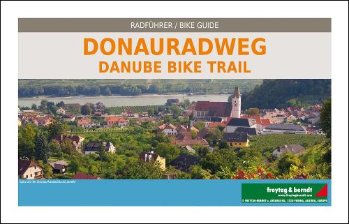
The freytag & berndt Radatlas Donauradweg presents the route Passau - Vienna - Bratislava on a scale of 1:125,000 with illustrated route descriptions. Degree of difficulty, route length, requirement and driving time are described in detail. Points of interest, natural beauties and excursion destinations as well as hiking trails are specifically pointed out. Detailed route description from Passau to Bratislava with main and secondary routes Map scale 1:125,000 Elevation profiles Important information about the route such as tourist highlights, accommodation, inns, bicycle repair shops, tourist information Compact format, ideal for the pannier Bilingual German/English Closed spiral binding for practical folding and easy page turning Tear-resistant, waterproof, wrapped in foil, can be written on, richly illustrated, space for your own notes
Product Information
Product Information
Shipping & Returns
Shipping & Returns
Description
freytag & berndt maps are available for many countries and regions in the world. In addition to the precise cartography each map also includes a lot of additional information about the region covered.
The freytag & berndt Radatlas Donauradweg presents the route Passau - Vienna - Bratislava on a scale of 1:125,000 with illustrated route descriptions. Degree of difficulty, route length, requirement and driving time are described in detail. Points of interest, natural beauties and excursion destinations as well as hiking trails are specifically pointed out. Detailed route description from Passau to Bratislava with main and secondary routes Map scale 1:125,000 Elevation profiles Important information about the route such as tourist highlights, accommodation, inns, bicycle repair shops, tourist information Compact format, ideal for the pannier Bilingual German/English Closed spiral binding for practical folding and easy page turning Tear-resistant, waterproof, wrapped in foil, can be written on, richly illustrated, space for your own notes